LASER SCANNING
ABOUT LASER SCANNING
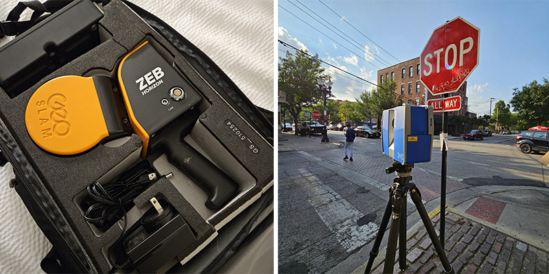
Terrestrial Laser Scanning (TLS) is a ground-based system that uses emitted laser light to capture precise spatial coordinates and dimensions. During each scan, the unit records millions of 3D data points—creating a high-density point cloud—while simultaneously capturing high-resolution photography, GPS coordinates, and quality control metrics.
- Rapid Scanning: Each scan takes under 10 minutes, with total field time depending on scene size and scope.
- High Precision: Phase-shift laser scanners deliver exceptional accuracy within roughly 1/8 of an inch.
- Comprehensive Data: TLS captures hundreds of millions of data points to create a true digital twin of the scene.
- Modern Industry Standard: Decreasing equipment costs have made TLS the standard for forensic documentation and close-range photogrammetry.
- Solid Foundation: Superior data accuracy and coverage provide an unshakeable basis for reconstruction and technical analysis.
- Affordable Preservation: Starting at $2,500 plus travel, scanning offers cost-effective scene preservation so physical evidence is never lost.
-
Scan deliverables are ideal for settlement or mediation with minimal additional expense:
-
Complete Scene Data: Includes the full 3D point cloud dataset.
-
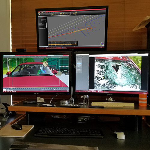
Visual Presentation: Includes an animated point cloud fly-through video.
-
Legal Forensic
Animations
Contact Us
About 21st!
Founded in 1989 by Andre Stuart, 21st Century Forensic Animations creates sophisticated 3D legal graphics that bring expert opinions to life. We deliver accurate, highly informative visual exhibits that help attorneys communicate complex evidence with clarity and precision.
Contact Us!
todd@call21st.com
+1 (800) 460-2887
Fort Worth, Texas
Have Questions?
30+ Years Of Experience

© 2021 21st Century Forensic Animations. All Rights Reserved