
This guide covers what 3D laser scanning actually is, how construction teams use it day-to-day, and why that same point-cloud data has become critical evidence in accident and defect lawsuits. It's written for construction professionals, attorneys, and insurance adjusters who need to understand this technology both on the job site and in the courtroom.
Key Takeaways
- LiDAR captures millions of data points to build accurate 3D point-cloud models of buildings and sites
- Supports surveying, BIM development, as-built documentation, and facility management
- Serves as forensic evidence in construction accident, defect, and injury litigation
- Courts admit scan-based exhibits only with verifiable, well-documented methodology
What Is 3D Laser Scanning in Construction?
3D laser scanning, or LiDAR (Light Detection and Ranging), works by emitting laser pulses and measuring how long each pulse takes to bounce back. That travel time gets converted into a distance, and each measurement becomes a point with an x, y, and z coordinate. Millions of these points together form a point cloud: a highly detailed spatial snapshot of whatever the scanner captured. You'll also hear this called high-definition surveying (HDS) or "reality capture." These are workflow labels for the same underlying physics, not separate technologies. One important distinction: a raw point cloud is not the same as a finished BIM model. The point cloud is measured data: objective and unedited. A BIM model is a derivative product built from that data, involving human decisions about what to include, simplify, or interpret. That difference matters later when scan data ends up in court. So what is laser scanning actually used for in construction? Primarily:
- Surveying existing site conditions before design begins
- Design coordination, catching clashes between structural, mechanical, and electrical systems
- As-built documentation to verify what was actually built matches the plans
- Facility management after handover, giving owners an accurate digital record of their building
Types of Laser Scanners Used On-Site
Three main types dominate construction work:
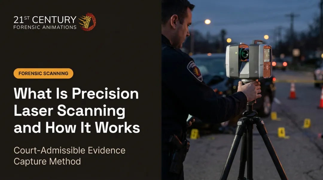
- Terrestrial (tripod-mounted) scanners: workhorse for detailed interior and structural capture; point accuracy typically a few millimeters at normal working distances
- Handheld scanners: faster site walkthroughs, though published accuracy figures are often less specific
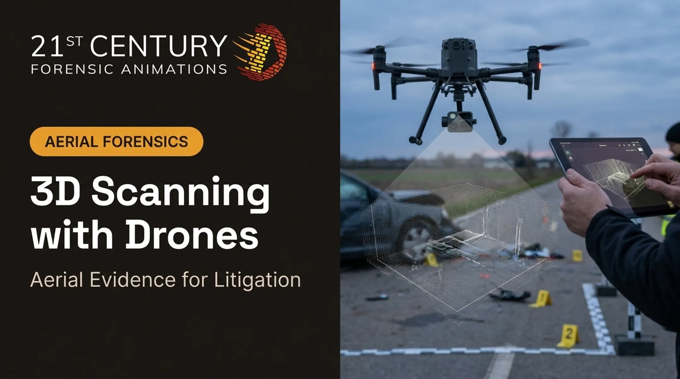
- Mobile and drone-mounted scanners: cover large or hard-to-reach areas quickly; accuracy from a couple millimeters stationary to a few centimeters at altitude That range (millimeters to a few centimeters) matters. It's precise enough for engineering coordination and for the legal precision a courtroom demands, provided conditions and equipment are documented.

How 3D Laser Scanning Works and Where It's Applied
The scanning process follows a consistent sequence:
- Plan the scan — determine what needs to be captured, from what positions, and to what level of detail
- Set up and calibrate the scanner — position it, verify settings, establish control points
- Capture the point cloud — the scanner fires pulses and records returns as it rotates
- Convert to a usable model — clean the data, register multiple scans into one coordinate system, and reconstruct surfaces
The conversion step is where raw captures become usable deliverables. Registration stitches scans from different positions into one unified dataset. Cleaning strips out noise and clutter: a passing worker, a stray tool, a parked forklift.
Surface reconstruction then turns raw points into recognizable walls, beams, and equipment that a design team can actually use.

Where This Gets Applied
Once captured, this data feeds a wide range of construction functions:
- Site surveying and topographic mapping
- BIM and digital twin creation
- Clash detection between building systems before construction starts
- Renovation and historic preservation projects, where existing conditions must be documented precisely
- Facility management after the building is complete
Can LiDAR be used to scan buildings? Yes. Both interior and exterior structural documentation are standard use cases, from a single room to an entire building envelope.
Do land surveyors use LiDAR? Yes. Surveyors rely on it for topographic data and accurate site plans that feed directly into design work.
Do architects use LiDAR? Yes, particularly for renovation and retrofit projects, where a scan gives them a dimensionally accurate starting point instead of outdated drawings.
Benefits and Limitations of 3D Laser Scanning
The appeal is straightforward: speed, safety, and coordination.
Benefits include:
- Faster than manual surveying methods, cutting site revisits
- Safer capture of hazardous or hard-to-reach areas, without sending a surveyor up scaffolding
- Better coordination between trades before conflicts turn into rework
On an eight-story apartment project, a pre-pour scan caught misplaced sleeve locations early and saved thousands of dollars. The same error after the pour could have meant tens of thousands in coring costs, according to the project's cost analysis report.
Field tasks that once took days were reduced to hours.
Limitations include:
- Higher upfront equipment and software costs
- Staff need training to operate scanners and process data properly
- Scanners can't capture what's hidden, such as rebar in concrete, wiring behind drywall, or areas blocked by clutter or scaffolding
A 2023 construction industry study found that occlusion and line-of-sight limitations remain a persistent barrier, meaning incomplete scan planning can force costly remobilization.

When Construction Site Evidence Becomes a Legal Matter
Construction sites are frequent scenes of serious injury and property disputes:
- Falls from height
- Scaffolding collapse
- Crane failures
- Defective installations that surface months or years after occupancy Point cloud data captured during or shortly after an incident creates an objective, tamper-resistant record of exact site conditions. Distances, clearances, angles, and dimensions are locked in before anyone can clean up, repair, or alter the scene. That same data doesn't have to stay as raw numbers. It can be converted into forensic animations and 3D reconstructions that show a jury exactly how an incident unfolded, grounded in physics and measured site conditions rather than witness memory alone. This is where 21st Century Forensic Animations comes in. The firm translates laser scan, drone, and photogrammetry data from construction accident and defect scenes into dimensionally accurate, court-ready visual exhibits for trial attorneys handling premises, construction injury, and related product liability cases. In one representative matter, the firm used laser-scan data to reconstruct three-dimensional power-line placement in an electrocution liability case. The resulting exhibit was admitted in court.
Documented methodology and verifiable accuracy aren't optional extras. They're what determine whether a scan-based exhibit survives an evidentiary challenge in state, federal, or international court. Courts applying Federal Rule of Evidence 702 require that expert testimony rest on sufficient data and reliable methods, reliably applied. Rule 901 requires evidence sufficient to show an exhibit is genuinely what it claims to be. A polished animation means nothing if nobody can explain how the underlying scan was captured, calibrated, and preserved.

Best Practices for Using Scan Data as Evidence
Admissibility depends as much on how scan data is captured and documented as on the scanner itself.
- Scan early. Conditions change fast on active construction sites: cleanup crews, repairs, and weather can erase evidence within days. Capturing the scene as soon as possible after an incident preserves conditions before they're altered.
- Document everything. Calibration records, scan settings, registration methods, and a clear chain of custody all matter. Without this paper trail, opposing counsel has an easy target for an admissibility challenge.
- Work with experienced specialists. Attorneys and construction firms should partner with forensic visualization experts who can not only produce the exhibit but testify credibly to its accuracy if challenged.
Evidentiary requirements and litigation timelines often decide what is still capturable at a scene. 21st Century Forensic Animations provides laser scanning and drone imagery 24/7, and delivers each exhibit with complete methodology documentation for admissibility review.
Frequently Asked Questions
What is 3D laser scanning in construction?
It's LiDAR-based reality capture that creates dimensionally accurate point cloud models of a building or site. Construction teams use it for planning, documentation, and analysis throughout a project's lifecycle.
What is laser scanning used for in construction?
Primary uses include surveying, BIM development, and as-built documentation. It is also used to document construction accidents and defects for legal purposes.
Can LiDAR be used to scan buildings?
Yes. LiDAR scanners document both interior and exterior structural conditions, capturing everything from a single room to a full building exterior with millimeter-level precision.
Do land surveyors use LiDAR?
Yes, surveyors rely on LiDAR for topographic and site data. It gives them accurate spatial information that feeds directly into site plans and design documentation.
Do architects use LiDAR?
Yes. Architects rely on scan data for renovation and retrofit projects, where an accurate existing-conditions model is essential before design work begins.
How is 3D laser scanning used in construction accident cases?
Scan data preserves exact site conditions after an incident. Trial attorneys use that record in forensic reconstructions to show juries how an accident occurred. Firms like 21st Century Forensic Animations convert this data into dimensionally accurate, court-ready exhibits.