
Introduction
A car crash scene gets cleared within hours. A crime scene tape comes down in days. Once that happens, the physical evidence is gone for good — unless someone captured it first.
Precision laser scanning has become the standard method for locking in that evidence before it disappears. Courts are seeing far more 3D digital evidence than they did a decade ago.
The National Institute of Justice's landscape study on 3D crime scene scanning documents how quickly law enforcement and forensic teams have adopted the technology since 2016.
Yet many attorneys still don't understand what happens inside that scanner, which can create problems at admissibility hearings or leave case-winning data underused. This guide breaks down precision laser scanning from data capture to courtroom-ready visualization.
Key Takeaways
- Laser scanners capture millions of 3D points per second, accurate to millimeters
- The scanning process follows four stages: setup, measurement, calibration, and output
- Courts require documented methodology, not just raw data, for evidence to hold up
- Combined with forensic animation, scan data becomes a dimensionally accurate exhibit
What Is Precision Laser Scanning?
Precision laser scanning is a non-contact measurement technology that uses laser light to record the exact spatial coordinates of a scene, object, or structure. The result is a digital replica so accurate that investigators can revisit and remeasure the scene long after it's been cleared.
Traditional documentation (tape measures, photographs, hand sketches) has a fatal flaw: it captures only what someone thought to measure at the time. Miss a detail, and it's gone once the scene reopens to traffic or the evidence gets released. A laser scan captures everything visible, whether anyone knew to look at it or not.
Laser Scanning vs. Photogrammetry vs. Drone Imagery
These three capture methods often get lumped together, but they work differently:
- Laser scanning measures distance directly with laser pulses, producing highly precise coordinates from a fixed ground position
- Photogrammetry derives measurements from overlapping photographs, useful for reconstructing evidence from surveillance footage or damaged materials
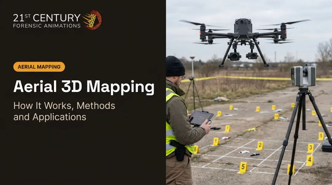
- Drone imagery captures aerial photos across a wide area, then processes them into a 3D model

They're complementary, not competing. 21st Century Forensic Animations deploys all three methods depending on the scene: a stationary scan for a building interior, photogrammetry for a damaged vehicle panel, and drone imagery for a highway pileup.
Why It Remains the Evidentiary Gold Standard
Smartphone apps and AI-based capture tools have entered the market, but they haven't displaced professional laser scanning in litigation. The reason comes down to documented methodology: courts want to know exactly how measurements were taken, what equipment was used, and whether the process is repeatable. Terrestrial scanners come with that verification trail built in.
Scanner types generally fall into three categories:
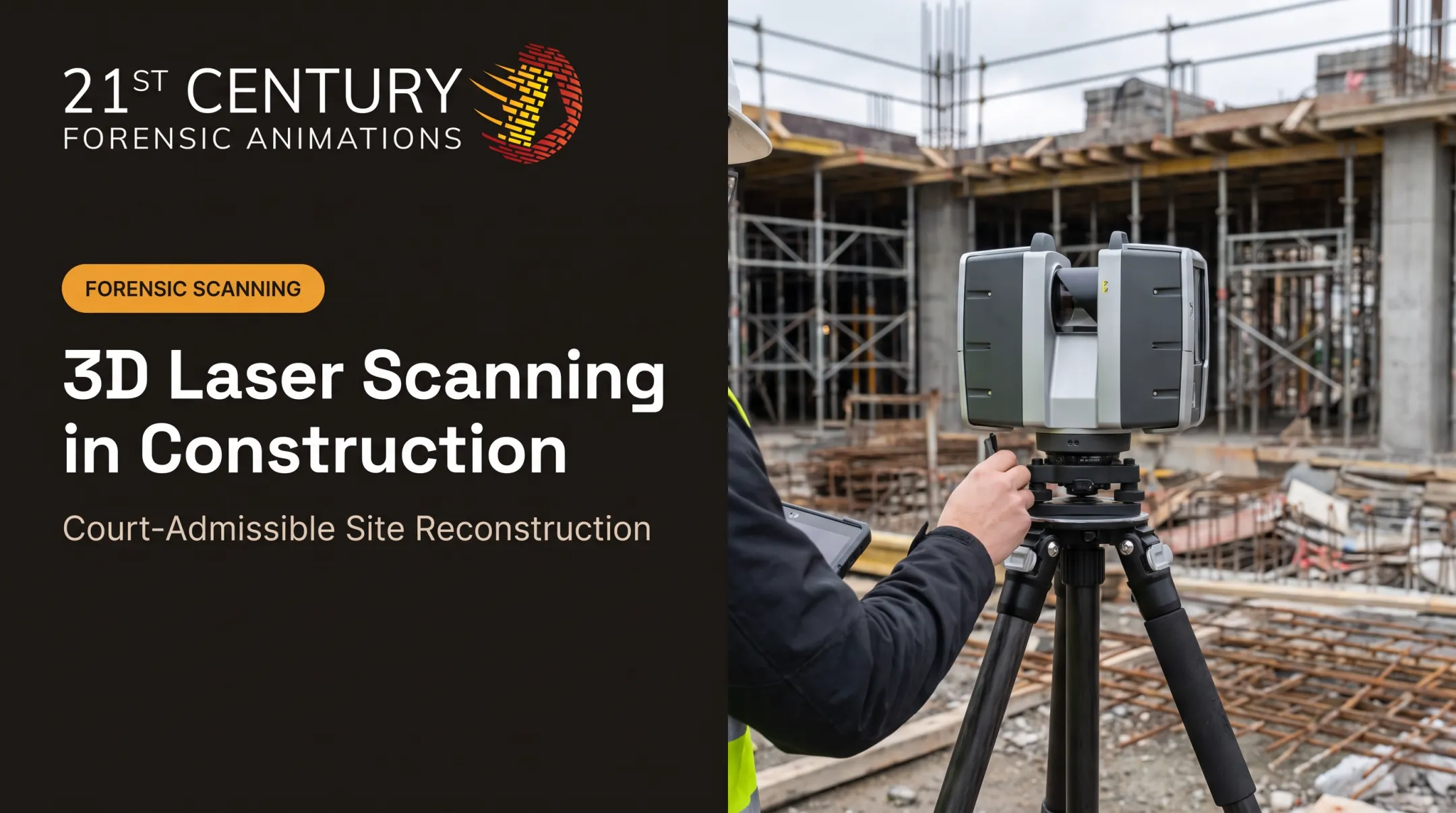
- Terrestrial (stationary) scanners: set up on tripods at fixed points, ideal for buildings, rooms, and vehicle scenes
- Handheld/mobile scanners: used for smaller objects or tight spaces where a tripod isn't practical
- Aerial LiDAR: mounted on aircraft or drones for large-scale outdoor mapping
The right choice depends on scale. Scanning a firearm for ballistics analysis calls for a different tool than documenting a quarter-mile debris field.
How Does Precision Laser Scanning Work?
The process moves through four distinct stages, and each one affects how defensible the final data will be in court.
Initiation
Scanning begins the moment a technician arrives on-site and positions the scanner at one or more stations around the scene. This step is manual and condition-based: scene preservation status, available lighting, and site access all determine when and how the scan starts.
Timing, not equipment, is the biggest limiting factor in what a scan can capture. A scene that's already been disturbed (vehicles moved, evidence bagged and removed, debris swept aside) limits how much accurate data survives to be captured. Faster deployment means more of the original scene gets preserved on record before it changes.
Core Operation
Once positioned, the scanner emits rapid laser pulses that bounce off every visible surface in range and return to the sensor. The system calculates distance using one of two methods:
- Time-of-flight: measures how long each pulse takes to return, then calculates distance based on the speed of light
- Phase shift: measures the shift between the emitted and returned light wave to derive distance
Each reflection becomes an X, Y, Z coordinate. Do this millions of times per second, and you get a dense point cloud. Leica's RTC360, for example, captures up to 2 million points per second with 1.9 mm accuracy at 10 meters. That speed matters for two reasons: it reduces time on-scene, and it preserves a level of forensic detail no tape measure ever could.
Regulation and Control
A single scan station only captures what's visible from that spot. Larger scenes require multiple stations, and those separate point clouds need to be stitched into one coordinate system, a process called registration.
Department of Justice guidelines for terrestrial LiDAR use in forensics call for documented calibration, independent reference checks, and at least three common control targets per registration to keep the alignment verifiable. This isn't a bureaucratic formality.
Misaligned or unverified scan data is exactly the kind of thing opposing counsel will attack at an admissibility hearing. Documented methodology and quality checks at this stage are what make the difference between evidence that survives cross-examination and evidence that gets excluded.
Output and Result
The final product is a dense, dimensionally accurate 3D point cloud that mirrors the real-world scene down to millimeters. On its own, that point cloud is already useful for measurements. But its real value comes from what happens next.
That raw data becomes the foundation for:
- Precise scene measurements pulled months or years after the scene was released
- Physics-based forensic animations and reconstructions
- Interactive 3D exhibits and VR walkthroughs for trial
Firms like 21st Century Forensic Animations take this raw scan data and convert it into court-ready 3D reconstructions grounded in the physical evidence — giving juries and judges an accurate visual understanding of a scene they'll never physically see.

Where Precision Laser Scanning Is Used
Laser scanning typically enters the forensic workflow right after scene preservation, before evidence is released, and again later during expert analysis and exhibit preparation.
Common case types include:
- Motor vehicle accidents
- Aviation incidents
- Officer-involved shootings
- Fires and explosions
- Product liability
- Eminent domain disputes
The technology performs best in environments where precision genuinely changes the outcome:
- Large outdoor scenes: highway accidents, industrial sites
- Tight interior spaces: rooms, stairwells, mechanical areas
- Small physical evidence: weapons, components, trace items requiring millimeter precision
Beyond the physical setting, usage and requirements also vary by jurisdiction. Rules of evidence differ between civil and criminal courts, and between state, federal, and international proceedings.
21st Century Forensic Animations has operated in civil, criminal, state, federal, and international courts since 1989. That range of experience shapes how the firm documents scan data so it holds up under whatever standard applies.
Conclusion
Precision laser scanning works through a controlled sequence: setup, measurement, alignment, and output. Every stage in that chain affects how defensible the resulting evidence will be once it reaches a courtroom.
Understanding that sequence helps attorneys ask the right questions before evidence gets challenged, not after. If you're evaluating whether scan data could strengthen your case, 21st Century Forensic Animations offers a free consultation. We'll walk through how raw scan data becomes a court-ready trial exhibit. Call (800) 460-2887, available 24/7.
Frequently Asked Questions
How much does a laser scanner cost?
Professional-grade scanners cost $60,000 to $80,000 or more, depending on precision and range. Hiring a forensic firm to scan a scene is typically more cost-effective than buying equipment for a single case.
What is the precision of laser scanning?
Professional laser scanners typically achieve millimeter-level accuracy — some models reach under 2 mm at 10 meters. That level of precision routinely withstands scrutiny in legal proceedings when backed by documented methodology.
What is laser scanning used for?
Beyond forensic and legal applications like accident reconstruction and crime scene documentation, laser scanning is widely used in construction metrology and reverse engineering. In litigation, it's most valuable for preserving scene data before it's lost.
Is laser scanning admissible as evidence in court?
Scan data is generally admissible when captured using a documented, repeatable methodology that satisfies rules like Federal Rule of Evidence 702. Chain-of-custody records and process documentation matter as much as the scan itself.
How long does a forensic laser scan take to complete?
Scan time depends heavily on scene size and complexity. Small scenes can wrap up in under an hour, while large or multi-station scenes may take several hours to capture fully.
Can laser scanning be combined with 3D animation for trial exhibits?
Yes. Scan data provides the accurate spatial foundation for forensic animations, letting firms build physics-based reconstructions that juries and judges can follow without technical expertise.