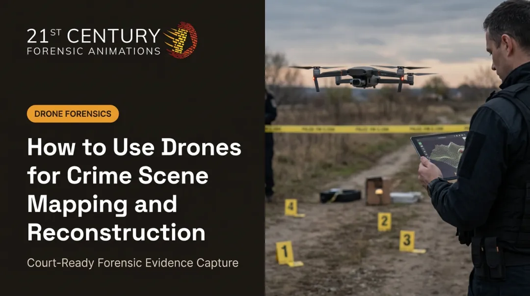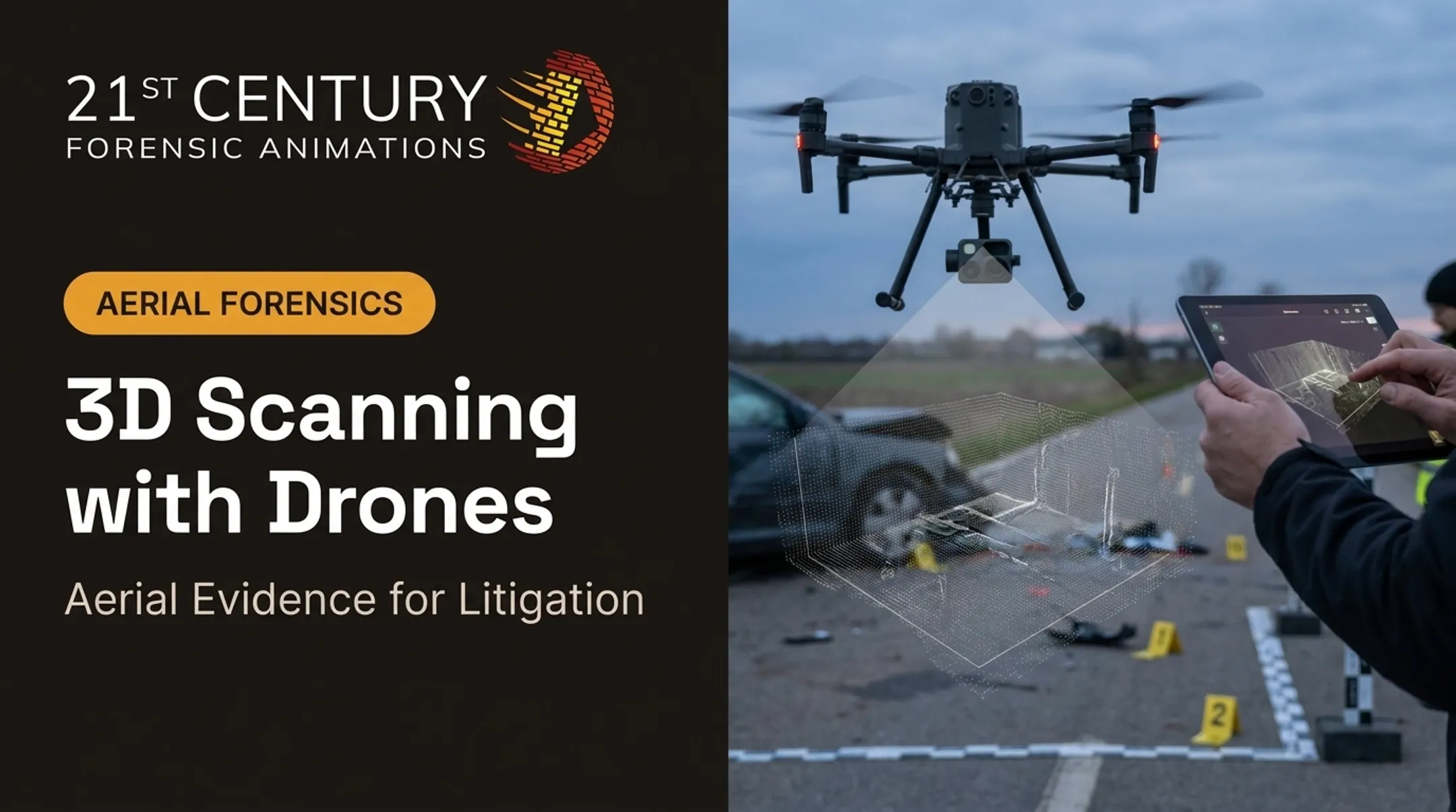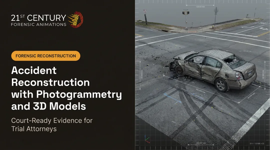

UAV-based laser scanning changes that math. Drone-mounted LiDAR sensors now capture millions of precise 3D data points over large or hazardous areas in minutes, and litigation teams, construction firms, and infrastructure planners are all putting the technology to work.
Complex scenes, motor vehicle wrecks, explosions, sprawling properties, are notoriously hard to measure quickly and accurately with ground tools alone. This article breaks down how UAV LiDAR works, where it outperforms other capture methods, and what it takes to produce a reconstruction that holds up in court.
Key Takeaways
- UAV LiDAR builds dense, georeferenced 3D point clouds over large or hazardous sites in minutes
- Vegetation penetration reaches bare ground where photogrammetry alone can't reliably map
- Paired with ground control points, it produces dimensionally accurate data suitable for legal evidence
- Match sensor and drone choice to required accuracy, coverage area, and site conditions
What Is UAV-Based Laser Scanning?
UAV LiDAR mounts a laser scanner on a drone. The sensor fires rapid pulses of light at the ground and measures how long each pulse takes to bounce back. That timing data, multiplied across thousands of pulses per second, builds a dense 3D point cloud of the surveyed area.
Two additional systems make those points survey-grade: GPS/GNSS and an inertial measurement unit (IMU). As the drone moves, they georeference every return to a real-world coordinate. Without accurate GPS/IMU data, the point cloud is just a shapeless cluster of dots.
LiDAR vs. Photogrammetry
Drone photogrammetry stitches together overlapping photos to build a 3D model. It's excellent for texture and visual detail but can't see through tree canopy or dense brush.
LiDAR pulses, by contrast, slip through gaps in vegetation and still return ground-level hits. That makes it the better choice for wooded terrain, overgrown lots, or sites where the ground surface itself matters, such as eminent domain disputes involving elevation and drainage.
When elevation and drainage are at issue, sensor accuracy and point density set the ceiling on what the cloud can prove. Typical published ranges include:
- DJI Zenmuse L2: 5 cm horizontal / 4 cm vertical at 150 meters
- YellowScan systems: about 1–4 cm accuracy, depending on sensor and flight conditions
- Point density: roughly 20 to 600+ points per square meter, driven by altitude and speed

UAV LiDAR is one of three core 3D capture methods used in professional surveying and reconstruction:
- UAV LiDAR — wide-area aerial coverage, including vegetated sites
- Terrestrial laser scanning (TLS) — high-density ground setups for fixed scenes
- SLAM-based handheld scanning — flexible capture in tight or obstructed spaces
Many forensic reconstructions combine more than one method on the same case.
How UAV Laser Scanning Works: From Flight to Final Model
Flight Planning and Data Capture
Before a drone ever takes off, the flight team plans a route, usually a grid pattern, and selects an altitude based on the required point density and site size. Crews place ground control points or reflective targets at known coordinates across the site to validate accuracy afterward.
During the actual scan:
- The drone flies the planned grid at a consistent altitude and speed
- The sensor fires thousands of pulses per second toward the ground
- GPS/IMU data records the drone's exact position and orientation continuously
- Ground control points remain in view for later cross-referencing
Data Processing and Point Cloud Generation
Once the flight ends, processing software aligns the GPS/IMU trajectory with each laser return. It then classifies points as ground or non-ground, separating trees, structures, and vehicles from bare earth.
From there, teams can generate:
- Digital elevation models showing bare-ground terrain
- Digital surface models capturing everything above ground, including vegetation and structures
- Merged datasets that combine LiDAR with photogrammetric imagery or terrestrial scans for a fully textured model

This merged approach often produces the most complete picture. Attorneys and experts get precise LiDAR geometry plus photorealistic surface detail, supporting measurements, reconstructions, and court-ready exhibits grounded in the physical scene.
Why UAV LiDAR Matters for Legal and Forensic Reconstruction
Documenting a large incident scene with ground equipment alone can take days. A single UAV flight can cover an entire crash corridor, blast radius, or multi-acre property in one pass, before weather, traffic, or cleanup crews alter the evidence.
That speed matters, but accuracy is what makes the data useful in court. Dimensionally verifiable point clouds give attorneys court-admissible exhibits for civil and criminal proceedings. Common scenarios where aerial scale matters include:
- Motor vehicle accidents spanning long stretches of roadway
- Explosion or fire scenes with wide debris fields
- Aviation incidents across open terrain
- Eminent domain disputes involving property boundaries and terrain
At 21st Century Forensic Animations, this kind of aerial documentation fits into a broader toolkit that includes drone imagery, terrestrial laser scanning, and photogrammetry. Those methods are combined into physics-grounded, court-ready 3D visualizations. Every exhibit is backed by complete methodology documentation built on 37 years of forensic reconstruction experience.
When opposing counsel challenges an exhibit, that documentation carries real weight. Courts applying the Daubert standard look at testability, known error rates, and whether the methodology has a reliable foundation, not just the final image. A documented process, and an expert available to explain it, is what helps a 3D reconstruction survive cross-examination.
UAV LiDAR vs. Other 3D Capture Methods
No single method wins every scenario. The right choice depends on the site.
| Method | Best For | Coverage | Precision |
|---|---|---|---|
| UAV LiDAR | Large outdoor sites, vegetation penetration, terrain mapping | Very large (acres in minutes) | Centimeter-level under proper conditions |
| Terrestrial Laser Scanning | Confined interiors, vehicles, building facades, fine detail | Limited to line-of-sight scan positions | Millimeter-level in controlled studies |
| Photogrammetry | Photorealistic texture, surface detail, evidence like skid marks | Flexible, depends on image count | Varies with camera and workflow |

A peer-reviewed study of terrestrial scanners found overall accuracy within 2 to 4 millimeters for tested methods—precision suited to close-range work such as vehicle damage or interior dimensions.
Complex reconstructions often combine methods:
- UAV LiDAR captures overall terrain and site scale
- TLS fills in fine detail on a vehicle or building facade
- Photogrammetry adds photorealistic texture over both datasets
Layering these methods gives attorneys and juries a reconstruction that is both accurate and visually clear.
Choosing the Right Drone and LiDAR Sensor
Not every drone can carry a LiDAR payload, and not every sensor fits every job. Choosing the right combination comes down to matching equipment to the site.
Platform type matters:
- Multi-rotor drones work well for smaller, detailed sites where agility and tight takeoff/landing space matter more than range
- Fixed-wing or VTOL platforms cover large, open areas more efficiently and offer longer flight endurance
- Airframes must support LiDAR as an add-on payload; consumer drones rarely include these sensors
Other factors to weigh:
- Sensor range, channel count, and point density should scale with project size
- Payload weight affects flight time and area covered per battery cycle
- Sensor cost varies significantly by grade, from lighter units to systems priced well into six figures

Before hiring a provider, confirm their equipment matches the accuracy your case actually requires. A scanner rated for large-scale terrain mapping isn't necessarily the right tool for capturing fine vehicle deformation, and vice versa.
Frequently Asked Questions
Does a drone scanner really work?
Yes. Modern UAV LiDAR systems achieve inch-level accuracy when calibrated with GPS, IMU data, and ground control points. That is why they are standard tools in professional survey and reconstruction work.
What is UAV LiDAR?
It's a laser scanning sensor mounted on an unmanned aerial vehicle. The sensor measures distance by timing light pulses, generating a georeferenced 3D point cloud of everything below the flight path.
Which drones have LiDAR scanners?
LiDAR payloads typically mount on multi-rotor drones for smaller, detailed sites, or on VTOL/fixed-wing drones for large-area and linear infrastructure surveys. The sensor is usually an add-on payload, not a built-in feature.
How accurate is UAV-based laser scanning for legal cases?
With proper ground control points and calibration, results can meet dimensional accuracy standards used in civil and criminal proceedings. Methodology documentation matters as much as the raw accuracy numbers for admissibility.
Can UAV LiDAR be used alongside other evidence documentation methods?
Yes. It is often combined with terrestrial scanning, photogrammetry, and traditional field measurements. Together they support a multi-layered scene reconstruction that covers broad terrain and fine detail in one exhibit.