
Attorneys and investigators now face growing pressure to produce digital evidence that survives cross-examination. A model built on shaky methodology gets challenged fast. Drones have become central to gathering that evidence, but only when the underlying technology and process hold up.
This article breaks down how drone 3D scanning works, compares LiDAR and photogrammetry, and looks at how this technology applies to forensic and legal casework.
Key Takeaways
- Drone 3D scanning combines aerial platforms with LiDAR or photogrammetry to create precise digital models of scenes and structures
- LiDAR cuts through vegetation and captures structural detail; photogrammetry costs less in open, well-lit sites
- Forensic-grade drone data must be dimensionally accurate, verifiable, and fully documented for courtroom use
- Choose the sensor based on site conditions, required precision, and the reconstruction goals
What Is Drone 3D Scanning?
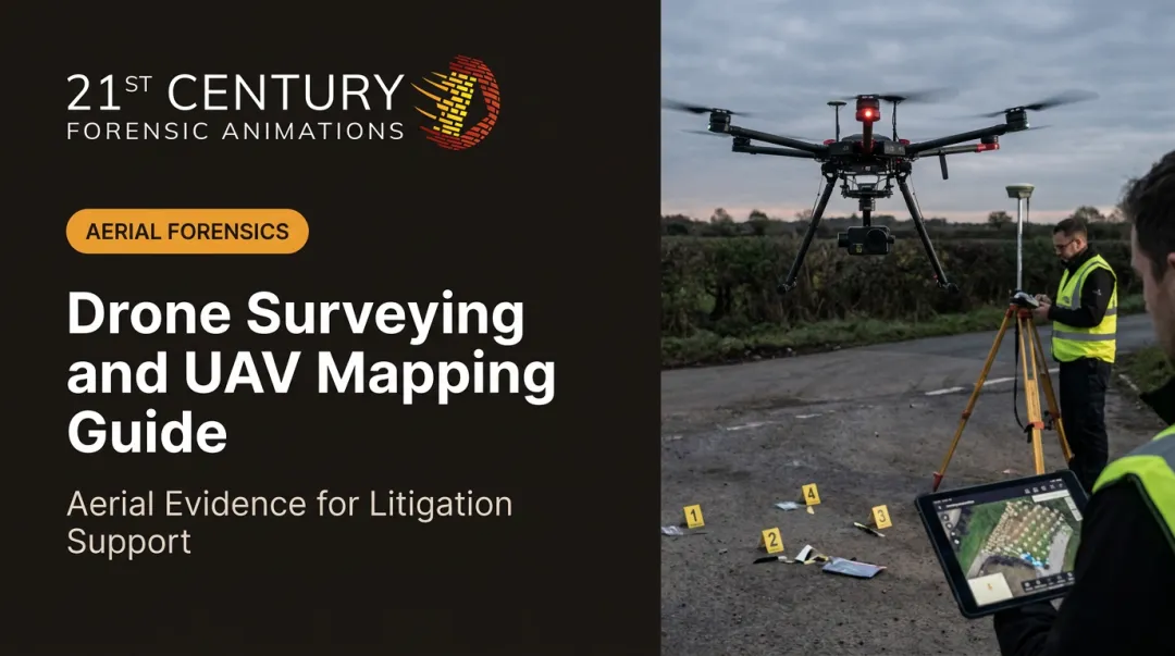
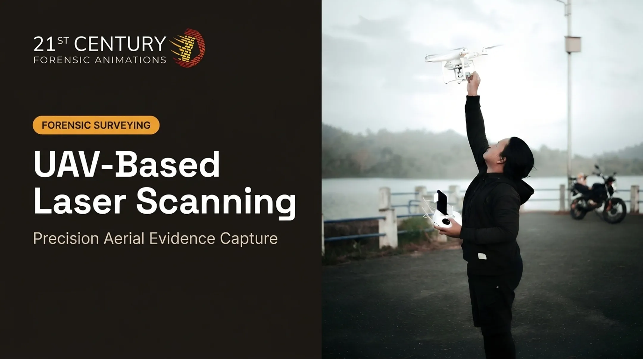
Drone 3D scanning uses unmanned aerial vehicles equipped with sensors or cameras to capture spatial data from above. That data gets converted into point clouds, meshes, or measurable 3D models representing a scene, structure, or piece of evidence.
Core Technologies Used
Two primary sensors dominate this space, backed by positioning and imaging systems:
- LiDAR (Light Detection and Ranging) emits rapid laser pulses and measures return times to generate a 3D point cloud DJI describes this process in its LiDAR guide.
- Photogrammetry stitches overlapping photographs in software and rebuilds geometry through structure-from-motion.
- Supporting systems add GPS/GNSS for georeferencing, high-resolution cameras for image capture, and thermal sensors for heat signatures.
Thermal data helps in fire investigations, but thermal accuracy is separate from geometric point-cloud accuracy.
Why It Matters for Evidence-Based Work
A scene changes fast. Debris gets cleared, weather shifts, structures get demolished. Accurate, repeatable capture methods matter because that digital record may later face scrutiny in a courtroom.
At 21st Century Forensic Animations, drone missions are planned to capture hundreds to thousands of overlapping high-resolution images, which get processed into 3D models and court-ready exhibits. The deliverable is an objective, verifiable record that can be defended under oath.

LiDAR vs. Photogrammetry: Which Is Better for 3D Scanning?
Neither technology wins outright. The right choice depends on environment, required accuracy, and what the final deliverable needs to show.
LiDAR's strengths:
- Penetrates vegetation and debris enough to help on wooded crash sites or collapsed structures (UAV LiDAR vs. photogrammetry comparison)
- DJI lists roughly 5 cm vertical and 10 cm horizontal accuracy for the L1 at 50 meters, with tighter L2 figures—under controlled test conditions, not as blanket guarantees
- Captures structural detail even in low-light or low-texture conditions
Photogrammetry's strengths:
- More cost-effective for open, visually rich environments like accident sites
- DJI's P1 publishes 3 cm horizontal and 5 cm vertical accuracy without GCPs under stated test overlaps (75% front, 55% side)
- Produces visually realistic outputs that help judges and juries connect with the scene
| Scenario | Better Fit |
|---|---|
| Wooded crash site, dense canopy | LiDAR |
| Open-air accident scene, good lighting | Photogrammetry |
| Collapsed structure, complex geometry | LiDAR or hybrid |
| Large outdoor incident, visual context needed | Photogrammetry |
Complex reconstructions sometimes combine both, blending visual fidelity with precise measurement. On the equipment side, DJI's Matrice series supports LiDAR payloads like the L1 and L2, while the Mavic series is commonly used for photogrammetry-based orbital scans.

21st Century Forensic Animations pairs drone photogrammetry with terrestrial laser scanning when a scene needs both aerial coverage and ground-level point-cloud detail. Sensor choice still follows what the evidence—and the courtroom deliverable—require.
How Drone 3D Scanning Works: From Flight to Final Model
Building a usable model isn't just "fly and hope." It's a structured process.
- Flight planning — Assess the site, then set altitude, image overlap, and sensor settings before takeoff. Pix4D recommends at least 75% front overlap and 60% side overlap for reliable photogrammetric results.
- Data capture — LiDAR sensors measure pulse return times; photogrammetry captures hundreds to thousands of overlapping images across the scene.
- Post-processing — Specialized software converts raw data into point clouds, 3D meshes, orthomosaics, or measurable models.
- Quality control — Calibration checks, residual analysis, and gap identification determine whether the model is accurate enough for its intended use.
Raw data alone proves nothing. A drone can capture a thousand images, but without careful processing and calibration, that data is just noise.
For legal and forensic applications, documenting every step matters as much as the model itself. If a model gets challenged in court, the expert needs to show exactly how it was built: flight parameters, control points, software settings, and error checks.

21st Century Forensic Animations builds complete methodology documentation into its process, supporting admission under civil, criminal, and international rules of evidence.
Real-World Applications of Drone 3D Scanning
Construction, Mining, and Infrastructure
Beyond litigation, drones handle routine industry work:
- Site mapping
- Progress monitoring
- Stockpile volume calculations
One mining case in Tennessee used a 20-megapixel drone camera and 10 ground control points to measure stockpiles up to 50 feet high, meeting client accuracy requirements down to fractions of an inch as documented by Pix4D.
Forensic and Legal Reconstructions
Drone-based 3D scans document scenes before evidence degrades or gets cleared:
- Accident scenes
- Crime scenes
- Structural failures
- Large outdoor incidents
Skid marks fade. Debris fields get swept away. Weather erases detail. A drone can capture the full picture within hours.
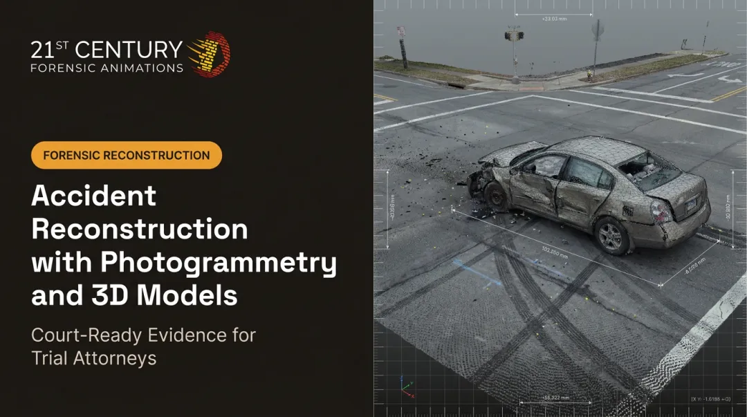
That aerial data feeds into forensic animations and reconstructions that help judges and juries understand complex physical evidence. Firms like 21st Century Forensic Animations combine drone imagery, laser scans, and photogrammetry into court-ready visualizations grounded in physics and physical evidence. That process turns raw spatial data into something a non-technical jury can actually follow.

Dimensionally accurate exhibits matter because rules of evidence differ across civil, criminal, and international jurisdictions. An exhibit that works in a Texas civil trial needs the same rigorous backing as one presented in an international tribunal.
A 2021 NIJ study found that terrestrial laser scanning outperformed the tested drone-based methods for identifying small evidence at simulated crime scenes according to the NIJ's evaluation. Combining aerial and ground-based capture improved both speed and accuracy. Drone scanning works best as part of a layered approach, not a standalone solution for every evidentiary detail.
Cost, Equipment, and Practical Considerations
Pricing varies widely depending on sensor type, range, and accuracy requirements. A publicly listed LiDAR system, the LIBERTY 64 NDAA unit, starts around $52,990, though that figure doesn't necessarily include the full drone platform, software, and training.
General cost patterns:
- Entry-level multi-rotor LiDAR setups cost less than long-range fixed-wing systems
- Photogrammetry setups cost less, using standard high-resolution cameras instead of specialized laser payloads
- Processing software, ground control equipment, and operator training add to total project cost
Limitations to weigh:
- Weather — wind, rain, and poor lighting all reduce capture quality
- FAA Part 107 — commercial operators need certification, visual line of sight, and must stay under 400 feet without a waiver
- Processing expertise — raw data must be turned into a defensible model
- Accuracy checks — results must meet project or evidentiary requirements, not vendor spec sheets alone
For litigation teams, these equipment and compliance costs usually sit with the forensic provider. What matters is whether the finished model meets the rules of evidence for the case.
Frequently Asked Questions
How much does a LiDAR drone for 3D scanning typically cost?
Entry-level systems can start around $50,000+ depending on sensor and platform, while long-range or fixed-wing systems cost significantly more. Total cost also depends on software, training, and support.
Does a drone 3D scanner really work?
Yes, when paired with proper flight planning, calibration, and processing software. Published accuracy figures from manufacturers like DJI show centimeter-level precision under controlled conditions.
Is photogrammetry or LiDAR better for drone 3D scanning?
It depends on the environment. LiDAR handles vegetation and low-light conditions better, while photogrammetry works well and costs less in open, well-lit scenes.
Which DJI drones support LiDAR for 3D scanning?
DJI's Matrice series, including the Matrice 300, 350, and 400 RTK, pairs with LiDAR payloads like the Zenmuse L1 and L2. The Mavic series is more commonly used for photogrammetry.
How accurate is drone-based 3D scanning compared to traditional methods?
Accuracy depends heavily on equipment and ground control points. Drone data can rival traditional surveying in many cases, but a 2021 NIJ study found terrestrial laser scanning still outperformed drone methods for detailed evidence identification.
Can drone 3D scans be used as evidence in court?
Yes, with proper methodology documentation and verifiable accuracy. Firms like 21st Century Forensic Animations build complete process records and can provide expert testimony to support admissibility across civil, criminal, and international rules of evidence.