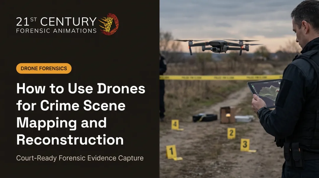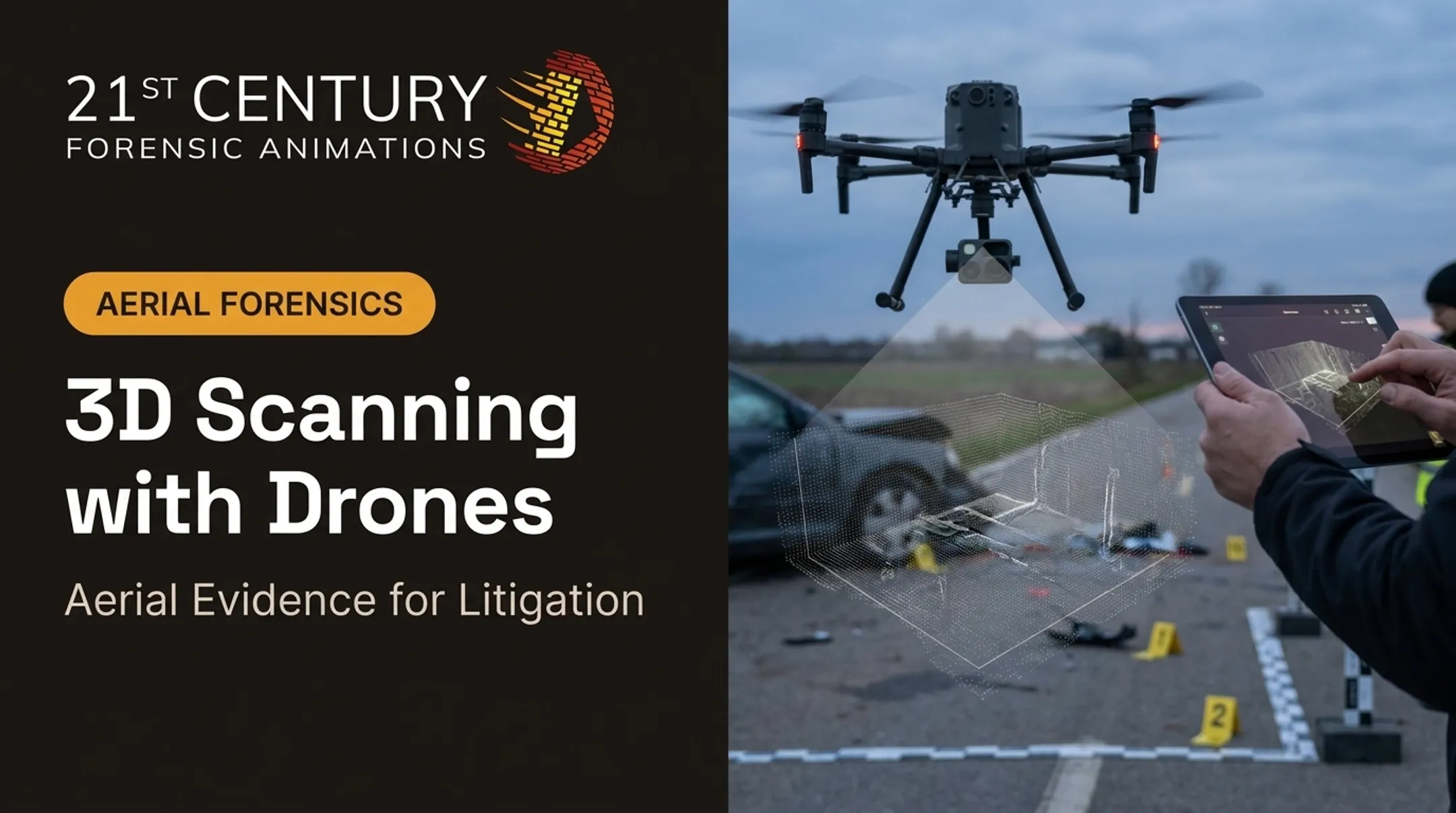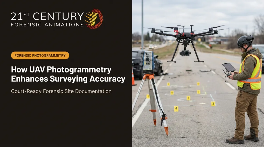

Traditional ground surveys are slow. They're expensive. And they often put surveyors or investigators in genuinely dangerous positions — standing in live traffic lanes, walking unstable rubble, or lingering at an active crime scene longer than anyone would like. A drone can capture the same data from the air in a fraction of the time, without putting a person in harm's way.
This guide covers what drone surveying and UAV mapping actually are, how the underlying technology works, where it's applied across industries, and — critically for legal teams — how it's being used in litigation and forensic reconstruction.
Key Takeaways
- Drone surveys shrink data collection from weeks to hours on job sites.
- RTK/PPK correction and ground control points enable centimeter-level accuracy.
- Photogrammetry and LiDAR fit different needs based on vegetation and budget.
- Court admissibility depends on documented methodology and verifiable accuracy.
- Commercial drone pilots in the U.S. must hold an FAA Part 107 certificate.
What Is Drone Surveying and UAV Mapping?
Drone surveying (also called UAV mapping) is the use of unmanned aerial vehicles fitted with cameras or sensors to capture geospatial data from above. The drone flies a pre-planned grid over a site, collecting imagery or laser measurements that software later converts into accurate maps, models, and measurements.
Traditional ground surveying relies on GNSS base/rover setups and total stations, instruments a surveyor physically carries point to point. It's precise, but slow. A drone can cover the same acreage, or far more, in a single flight, then let processing software handle the heavy lifting overnight.
That speed advantage only matters if the resulting data holds its position on the map. Every image or laser point a drone captures is geo-referenced using GNSS receivers onboard the aircraft. This is what turns a stack of aerial photos into a spatially accurate map rather than just a picture: it becomes the foundation for every 2D and 3D output that follows.
Sensor Types and What Each One Does Best
- RGB cameras: standard visual imagery for orthomosaics and general site mapping
- LiDAR: laser pulses that penetrate vegetation canopy to capture ground detail underneath
- Multispectral sensors: capture non-visible light bands for crop health and vegetation analysis
- Thermal sensors: detect temperature variation for inspections and search scenarios
Common survey types performed today include topographic mapping, photogrammetric site capture, construction progress monitoring, agricultural assessment, environmental and conservation surveys, and increasingly, forensic and accident-scene documentation. The common thread across all of them: speed, safety, and the ability to reach terrain that would otherwise be slow or dangerous to survey on foot.

How Drone Surveying Works: Technology and Workflow
At its simplest, photogrammetry works the way human depth perception does. Just as your two eyes capture slightly different angles of the same scene and your brain fuses them into a 3D perception of depth, photogrammetry software does something similar with aerial images.
The software takes hundreds of overlapping aerial photos, identifies matching points across images, and triangulates their real-world position. String enough of these together and you get an orthomosaic (a distortion-corrected aerial map) or a full 3D model.
Ground Control, RTK, and PPK: Achieving Survey-Grade Accuracy
Raw drone imagery is accurate relative to itself, but it needs to be anchored to real-world coordinates. That's the job of ground control points (GCPs), surveyed markers placed on the ground before the flight that give the processing software fixed reference coordinates.
Two correction methods handle the GNSS side of this:
- RTK (Real-Time Kinematic): Corrections are applied during the flight itself, requiring a live data link to a base station.
- PPK (Post-Processed Kinematic): Corrections are applied after the flight, using logged data. If the real-time link drops mid-flight, PPK data can still be processed later. That's a meaningful resilience advantage on noisy job sites.
A controlled comparison by Pix4D found RTK produced 2.7 cm horizontal and vertical RMSE with no ground control points at all. Well-distributed GCPs on a non-RTK flight achieved nearly identical results: 2.7 cm horizontal and 4.8 cm vertical RMSE. Numbers like these matter more than generic "survey-grade" claims because they tell you exactly what configuration produced them.
The Standard Drone Survey Workflow
- Pre-flight planning — define area boundaries, flight altitude, and image overlap targets
- Ground control placement — set GCPs across the site for absolute accuracy
- Automated flight execution — the drone flies a programmed grid pattern
- Data processing — software converts images into orthomosaics and point clouds
- Deliverable and report generation — final maps, models, and accuracy documentation
The professional standard doesn't stop at processing. Independent checkpoints (survey points held separate from the GCPs used in calibration) confirm the model's real-world accuracy before anyone uses it for design, measurement, or legal reporting. Industry guidance from ASPRS recommends at least 30 such checkpoints for a statistically defensible accuracy assessment.

Types of Drone Surveys and Data Deliverables
A single flight can generate several deliverables simultaneously, meaning teams often don't need to re-fly a site just to extract a new data product later. Common outputs include:
- Orthomosaics — distortion-free aerial maps, typically GeoTIFF files
- Digital surface/terrain models (DSM/DTM) — elevation data showing surface features or bare earth
- 3D point clouds — dense measurement data, usually delivered as LAS or LAZ files
- Textured 3D meshes — visual 3D models, often in OBJ or PLY format
Photogrammetry vs. LiDAR comes down to what's covering the ground:
| Method | Best For | Key Advantage |
|---|---|---|
| Photogrammetry | Open, visible terrain and general site mapping | Cost-effective |
| LiDAR | Vegetation-covered or obstructed terrain | Laser pulses penetrate canopy to capture ground detail |
For litigation support work, these deliverables become the underlying data behind court-ready aerial exhibits and 3D reconstructions.
Industry Applications of Drone Surveying
Drone surveying supports several industries, each with distinct data needs and safety priorities:
- Construction and earthworks: Progress tracking, cut/fill volume calculations, and stockpile measurement, often replacing multi-week manual surveys with a single flight day.
- Mining and aggregates: Stockpile inventory, slope and pit-wall monitoring, and keeping surveyors out of active pits and unstable terrain entirely.
- Agriculture and environmental monitoring: Multispectral imaging flags crop stress early, while LiDAR-based terrain models support habitat mapping and conservation tracking.
One documented case from Pix4D illustrates that scale. At a STRABAG construction site, a survey that would normally take about two weeks by standard methods was completed in a single UAV flight day, with processing finished the next day. That turnaround reduces rework and change-order disputes—and creates a documentation trail that matters if a dispute escalates to litigation, from construction defect claims to eminent domain valuations.
Drone Surveying in Legal and Forensic Investigations
The same speed and precision that benefits construction crews is now shaping how attorneys build cases. In accident reconstruction (motor vehicle collisions, aviation incidents), investigators use drone imagery and photogrammetry to capture scene geometry, skid marks, and debris fields before roadways reopen or evidence gets disturbed.
Agencies including the NIJ and the UK's Air Accidents Investigation Branch have documented UAS mapping as a faster path to accurate scene reconstruction than total-station methods alone.
That same capability extends into criminal investigations and officer-involved shooting reconstructions, where aerial mapping documents spatial relationships, sightlines, and trajectories that ground-level photos simply can't capture on their own.
The same aerial precision applies to eminent domain disputes and property or boundary cases, where dimensionally accurate maps help establish exactly how much land is affected and support valuation arguments.
Court admissibility never rests on a compelling visual alone. It depends on documented methodology, verifiable dimensional accuracy, and a clear chain of custody for the underlying data.
This is where 21st Century Forensic Animations fits in. Based in Fort Worth, Texas, the firm has spent 37 years, since 1989, building court-ready 3D exhibits for trial attorneys, making it the oldest independent forensic animation firm in the industry. Their process integrates drone imagery with terrestrial laser scanning and close-range photogrammetry:
- Mission-planned UAV flights capture hundreds to thousands of overlapping aerial images of a scene
- Terrestrial laser scanning adds millions of precise ground-level measurements, producing dense point clouds
- Close-range photogrammetry extracts measurements from photos and video, including surveillance and dashcam footage
All three data layers feed into physics-based reconstruction software to build exhibits that hold up under scrutiny across civil, criminal, state, federal, and international rules of evidence. First-time clients receive a free consultation to review case specifics.

Choosing the right forensic partner matters as much as the technology itself. Before signing on, attorneys should confirm the vendor meets a few core standards.
What Attorneys Should Look for in a Forensic Vendor
- Methodology transparency: full documentation of how data was captured and processed
- Rules-of-evidence compliance: familiarity with the specific jurisdiction's standards
- Availability for expert testimony: someone who can explain and defend the methodology on the stand
Accuracy and Cost of Drone Surveying
Modern drone surveys can achieve centimeter-level accuracy when RTK or PPK correction is paired with properly distributed ground control points. Accuracy shifts based on a handful of factors: flight altitude (lower altitude generally means finer ground resolution), image overlap percentage, and the quality of the GNSS correction signal.
What Drives the Cost
| Cost Driver | Notes |
|---|---|
| Drone hardware | Entry-level RGB rigs cost far less than industrial LiDAR platforms |
| Sensor payload | LiDAR systems run substantially higher than RGB cameras due to scanner and IMU integration |
| Ground control equipment | GNSS rover gear for placing and surveying GCPs |
| Software/processing | Subscription-based photogrammetry and GIS platforms |
| Pilot labor | Licensed operator time, including flight planning and site logistics |
LiDAR's added cost comes from its laser scanner, precision IMU/GNSS integration, and more complex processing requirements, making it a heavier lift than basic RGB photogrammetry on visible, unvegetated surfaces.
One regulatory factor also shapes project cost and timeline in the U.S.: commercial drone operators must hold an FAA Remote Pilot Certificate under Part 107. Earning it requires passing a knowledge test, and keeping it active means completing recurrent training every 24 months.
Verify a vendor's certification status before hiring — it's a quick check that protects both the project timeline and the legal defensibility of the data.
Frequently Asked Questions
What is UAV drone surveying?
UAV drone surveying is the use of drones equipped with cameras or LiDAR sensors to capture aerial data, which is then processed into accurate maps, 3D models, and measurable geospatial outputs.
How much does UAV drone surveying cost?
Costs vary widely based on drone and sensor type, project size, and whether ground control or specialized LiDAR processing is required. RGB photogrammetry setups are generally the lower-cost option compared to LiDAR platforms.
How accurate is drone surveying/UAV mapping?
Centimeter-level accuracy is achievable using RTK or PPK correction combined with ground control points. Professional workflows confirm this accuracy through independent checkpoint validation, separate from the control used in processing.
Is drone survey data admissible in court?
Admissibility depends on documented methodology, verifiable accuracy, and compliance with the jurisdiction's rules of evidence — not how convincing the visual looks. Federal Rule of Evidence 702 requires reliable methods, reliably applied.
What's the difference between photogrammetry and LiDAR drone surveys?
Photogrammetry builds 3D models by matching overlapping photographs, making it cost-effective for open, visible terrain. LiDAR uses laser pulses that can penetrate vegetation canopy, capturing ground detail that photogrammetry would miss.
Do you need a special license to fly a survey drone?
Yes. Commercial drone operators in the U.S. must hold an FAA Part 107 Remote Pilot Certificate, which requires passing a knowledge test and completing recurrent training every 24 months.