
Crime scene mapping has come a long way from graph paper and tape measures. Today's investigators use total stations, laser scanners, and drones to capture scenes with millimeter-level precision. This guide walks through the methods, the technology, and how raw field data becomes an exhibit a jury can actually understand.
Key Takeaways
- Crime scene mapping creates a permanent, measurable record after the physical scene is gone
- Five coordinate methods exist, from basic rectangular measurements to polar/total station mapping
- Total stations, laser scanners, and drones have largely replaced manual tools
- Court admissibility hinges on documented methodology, accuracy, and objectivity
- Forensic animation firms turn raw mapping data into visuals juries can follow
What Is the Purpose of Mapping a Crime Scene?
Crime scene mapping is the accurate, to-scale documentation of a scene's evidence, layout, and spatial relationships. It exists because scenes don't last. Once evidence is collected and the tape comes down, that physical layout is gone forever. Mapping is what remains.
The Four Types of Crime Scenes
Investigators typically work with:
- Outdoor scenes — vulnerable to weather, animal activity, and contamination, which means speed and thoroughness both matter
- Indoor scenes — controlled environments, but often layered with multiple rooms, evidence types, and access points
- Conveyance scenes — vehicles requiring interior and exterior documentation before they're moved
- Multiple/large-area scenes — dynamic scenes spread across wide areas, sometimes requiring sub-scene documentation within one overall map
Each scene type puts different pressure on documentation speed and completeness. In every case, the finished map still has to hold up in court.
Why Accuracy Matters in Court
Dimensionally accurate mapping supports admissibility under rules of evidence across civil, criminal, state, federal, and international jurisdictions. An exhibit that's off by even a few inches gives opposing counsel an opening to challenge the whole reconstruction.
The work has to be precise and objective. Unbiased, non-prejudicial visualizations let attorneys on both sides trust the same model. That is the standard 21st Century Forensic Animations builds to: exhibits derived from laser scans, photogrammetry, and physical evidence—not assumptions.
Crime Scene Search and Measurement Methods
Investigation generally follows seven steps: identify, secure, document, search, collect, package, and analyze. Mapping falls within the documentation and search phases, where investigators decide how to physically cover the scene and record what they find.
The Five Crime Scene Search Methods
- Line/strip search — searchers move in parallel lanes, ideal for large outdoor areas like fields or roadsides
- Grid search — overlapping perpendicular passes for thorough coverage of a defined area
- Zone/quadrant search — divides indoor scenes into sections, searched one at a time
- Spiral search — moves inward (or outward) in circles, useful when there's no natural boundary
- Wheel/ray search — divides a circular scene into pie-shaped wedges, searched spoke by spoke

The Four Measurement Coordinate Techniques
Once evidence is located, investigators measure it relative to fixed points:
- Rectangular coordinates — measured from two perpendicular fixed objects, such as walls meeting at a 90-degree angle. The most common method.
- Triangulation — distance measured from two separate fixed, permanent objects.
- Baseline/transecting — a tape baseline runs across the scene, with perpendicular measurements locating evidence off it. Works well for long, linear scenes.
- Polar coordinates — one fixed point, plus distance and angle. This is the method most closely tied to total station technology.
Each method has tradeoffs. Rectangular coordinates are simple but slow across large scenes. Polar coordinates with a total station are fast and precise but require equipment and training that not every department carries. Whatever method you use, those measurements become the spatial record that scene diagrams and later reconstructions depend on.

Technology Used in Crime Scene Investigation and Mapping
Manual tools haven't disappeared, but they've been supplemented, and often replaced, by instruments that eliminate human measurement error.
Total stations calculate distance and angle to a prism, recording polar coordinates automatically. Electronic and ultrasonic measuring devices have largely replaced tape measures for routine distance capture, cutting down on transcription errors.
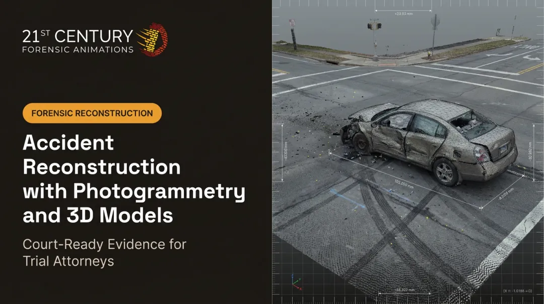
Laser scanning goes further. A scanner can capture millions of data points in minutes, building a complete 3D point cloud of a scene: walls, furniture, vehicles, bodies, everything within range, all at once.
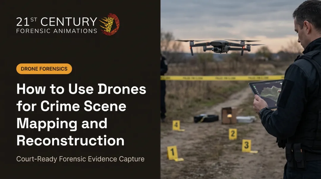
Drone-based photogrammetry extends that capability outward, processing overlapping aerial images into 3D models of scenes too large or complex to map efficiently on foot.

What Software Is Used for Crime Mapping?
Field data has to go somewhere. Broadly, the software falls into three categories:
- CAD-based diagramming tools: produce finished floor plans, diagrams, and legends for reports and courtroom exhibits
- Photogrammetry processing software: converts overlapping photographs or drone imagery into measurable 3D spatial data
- GIS crime analysis tools: support broader pattern analysis, distinct from single-scene documentation
None of these tools do the thinking for the investigator. They convert raw measurements into something usable. The interpretation and reconstruction still come from trained analysts.
From Field Data to Courtroom-Ready Visualization
A raw point cloud or a folder of drone images cannot go to a jury as-is. It must become a clear exhibit that meets evidentiary standards. That conversion is where many cases gain clarity or lose credibility.
21st Century Forensic Animations, the oldest independent forensic animation firm in the industry, has handled that conversion since 1989. The process moves through four stages:
- Capture: terrestrial laser scans record millions of spatial measurements; drone flights acquire hundreds to thousands of overlapping images
- Digitize: scan data becomes a dimensionally accurate point cloud; drone imagery becomes a 3D aerial model
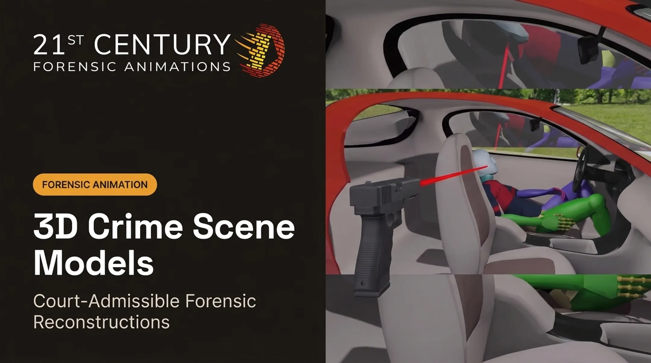
- Reconstruct: physics-based analysis and photogrammetry turn measurements into an accurate representation of the scene or event
- Present: findings become court-ready 3D animations, models, or interactive exhibits

Those stages show up clearly in practice. In one electrocution and energy-provider liability case, laser-scan data established a 24-foot overhang measurement between a residence and nearby power lines. That single spatial relationship, mapped precisely, became central to the court's understanding of liability.
Every exhibit includes complete methodology documentation, so opposing counsel and judges can verify accuracy before trial, not after a challenge derails it. When needed, the firm provides expert testimony that walks a jury through how the mapping was done and why it holds up.
Crime Mapping Beyond the Scene: Crime Analysis
Scene mapping and crime analysis often get blurred, but they serve different purposes. Crime scene mapping documents one scene: spatial relationships, evidence placement, and dimensions. Crime mapping/analysis looks at broader patterns across many incidents to identify hotspots.
Analysts working in this space typically fall into three categories:
- Tactical analysis: short-term support for identifying immediate patterns or crime series
- Strategic analysis: longer-term study of trends, causes, and prevention strategies
- Administrative analysis: resource and policy decisions at the agency level
This article focuses on scene-level forensic mapping relevant to litigation, not predictive policing or pattern analytics.
Frequently Asked Questions
What are the 7 basic steps in crime scene investigation?
The core steps are identification, securing the scene, documentation, search, collection, packaging, and analysis. Mapping falls primarily within the documentation and search phases.
What are the five crime scene search methods?
Line/strip, grid, zone/quadrant, spiral, and wheel/ray. Each suits different scene shapes — line search for open areas, wheel search for circular or radial scenes.
What is the purpose of mapping a crime scene?
Mapping creates a permanent, accurate, to-scale record of a scene before evidence is removed and the physical location is released. It's what makes reconstruction possible later.
What technology is used in crime scene investigation?
Total stations, laser scanners, drones, and photogrammetry software have largely replaced manual measuring tools. These capture precise spatial data that's later converted into diagrams or 3D models.
What software is used for crime mapping?
Investigators use CAD-based diagramming software for finished exhibits, photogrammetry software to process images into 3D data, and GIS tools for broader crime pattern analysis.
What are the four types of crime scenes?
Outdoor, indoor, conveyance (vehicles), and multiple/large-area scenes. Each presents different documentation challenges, from weather exposure to layered indoor complexity.