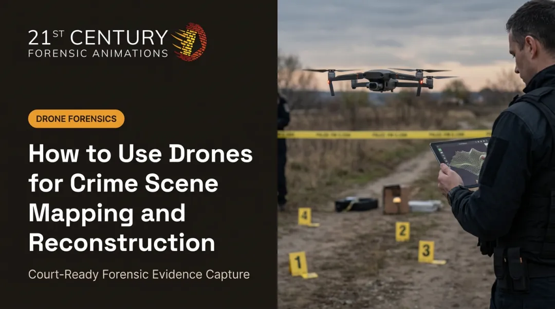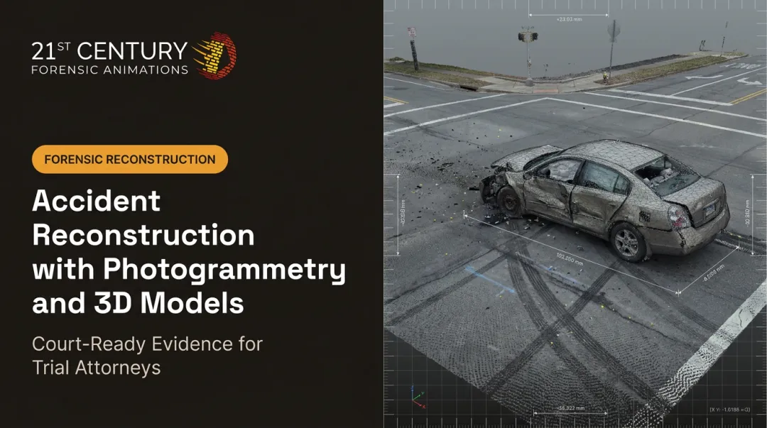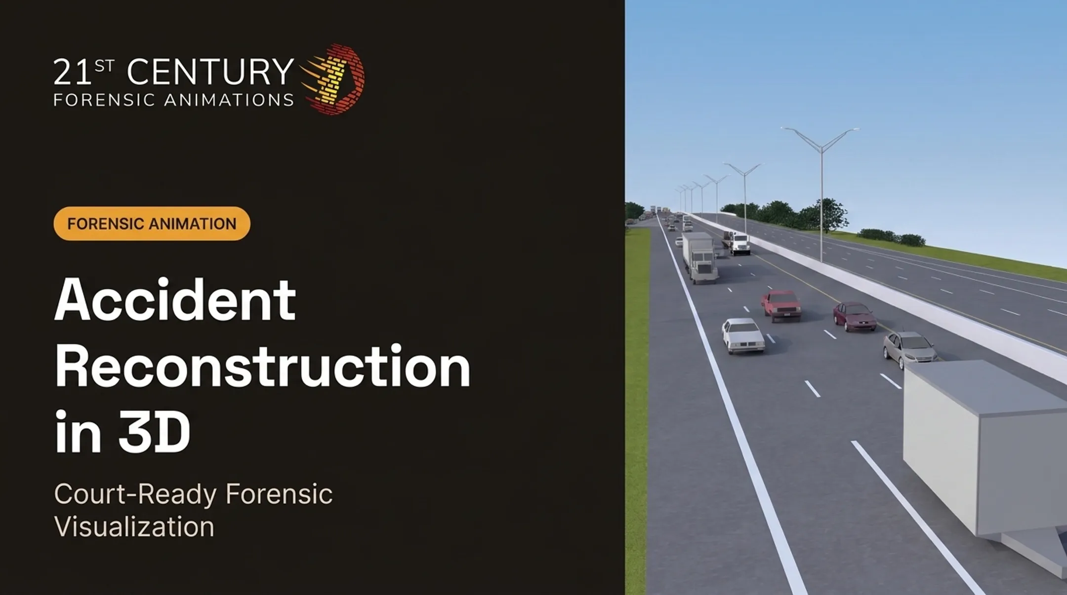

Drones now let investigators document crash and incident scenes faster and more completely than tape measures or total stations ever could. But raw footage isn't evidence — it's just pixels until it's documented correctly. This guide walks through the capture process, the legal standards drone evidence must clear, and how raw aerial data becomes a persuasive 3D exhibit.
Key Takeaways
- Drone capture can outpace traditional total station surveys, but speed only matters if chain-of-custody protocols hold up
- Courts require validated methodology and verified accuracy under Daubert/Frye — not just good footage
- Raw images and point clouds must become orthomosaics, 3D models, and animations before a jury can use them
- A forensic visualization partner supplies dimensional accuracy and courtroom-ready testimony support
Why Accurate Drone Documentation Matters in Accident Reconstruction
Skid marks fade. Fluid stains evaporate. Debris gets swept off the road within hours of a crash. Every minute spent setting up equipment is a minute that physical evidence keeps degrading.
Traditional documentation is slow. A manual total station survey can take hours to complete, keeping a scene closed and investigators exposed to traffic the entire time. Drone-based capture cuts that timeline sharply.
Independent research backs this up:
- The National Institute of Justice found UAS collection averaged one hour faster than a robotic total station and two hours faster than manual methods
- A staged-collision study by NCDOT and North Carolina State Highway Patrol reported drone capture completing in 25 minutes versus nearly two hours for 3D laser scanning
- Colorado State Patrol estimated 168 work-hours saved across 331 scenes in a one-year review
These are documented benchmarks under specific conditions, not universal guarantees. Weather, lighting, and scene complexity all shift the numbers.

The reconstruction field has a blunt saying: garbage in, garbage out. Incomplete scene documentation has weakened countless cases because reconstructionists simply didn't have enough data to build a defensible opinion.
Drones close that gap by capturing aerial and oblique angles ground-level photography can't replicate:
- Driver sightlines
- Final vehicle rest positions
- Roadway geometry
That same coverage applies across motor vehicle collisions, aviation incidents, and officer-involved shootings—any case where the scene will change before a full ground survey finishes.
The Drone Data Capture Process for Accident Reconstruction
Good drone evidence starts before the aircraft ever leaves the ground.
Pre-Launch Protocol
Before capture begins, investigators should:
- Secure the scene and control access to prevent contamination
- Place numbered evidence markers at key points for later reference
- Verify FAA Part 107 authorization, including VLOS and altitude limits
- Confirm drone readiness: battery, camera calibration, and firmware
Flight Planning Fundamentals
Effective capture combines nadir (straight-down) passes for mapping accuracy with oblique passes that capture depth and vertical detail, such as vehicle damage or debris fields.
There's no single industry-mandated ground sample distance (GSD) for evidentiary capture. The American Society for Photogrammetry and Remote Sensing notes that GSD and required accuracy depend on the project, sensor, and processing method, not a fixed altitude rule.
Work backward from the smallest feature you must resolve:
- Define the target feature (a tire mark, a shell casing)
- Set camera parameters and altitude to capture it
- Validate the result with check points

What Else Needs Documenting
Aerial imagery alone isn't enough. A complete capture package includes:
- Ground-level reference photos for scale and context
- Measured distances between fixed points
- Environmental conditions (light, weather, time of day)
- Full flight metadata and logs
Photogrammetry converts those overlapping images into measurable orthomosaics and 3D point clouds.
Combine that dataset with total station or laser scan data for a fuller reconstruction: aerial coverage plus ground-truth precision.
From Raw Drone Data to Court-Ready 3D Visualizations
A point cloud isn't an exhibit. Getting from raw capture to something a jury can actually use requires a few distinct steps: measurement verification, reconstruction modeling, and animation.
Verified measurements feed a scaled model. Animation comes last, and only where motion clarifies the sequence for a jury.

Reverse Projection: Recovering Evidence That's Already Gone
One valuable technique in civil litigation is reverse projection: aligning older 2D photographs (often taken by police or bystanders right after the incident) into a 3D environment captured by drone months or years later. This matters because reconstruction experts in civil cases frequently arrive long after a scene has been cleared and repaved.
Reverse projection photogrammetry has held up in federal court in surveillance-height cases like United States v. Kyler and United States v. Williams. Judges have not treated the technique as automatically novel or unreliable.
Turning Measurements Into a Persuasive Story
Physics-based, dimensionally accurate animation helps a jury visualize what words alone struggle to convey: approach speed, trajectory, and point of impact. At 21st Century Forensic Animations, every exhibit is built on documented methodology and physical evidence, so drone-captured data becomes a visualization that holds up under cross-examination.
Useful courtroom deliverables generally fall into three categories:
- 2D diagrams: scaled overhead views for quick orientation
- 3D fly-throughs: walk the jury through the scene from any angle
- Full forensic animations: reconstruct the incident sequence itself
Ensuring Admissibility: Chain of Custody & Legal Standards
Strong visuals still fail if the evidence behind them gets excluded. Courts scrutinize drone evidence on two fronts: how it was handled, and how reliable the underlying method is.
Chain of Custody Basics
Digital evidence guidance from the Scientific Working Group on Digital Evidence recommends:
- Creating a complete forensic image of raw files before any processing
- Generating and verifying NIST-approved hashes
- Documenting every transfer: who handled the file, when, and why
- Working only from a verified copy, never the original

What Courts Actually Look For
Under Federal Rule of Evidence 702, an expert opinion needs sufficient facts, a reliable method, and reliable application of that method to the case. Rule 901 requires proof that evidence is what it's claimed to be. Someone has to explain how the drone data was captured and processed, not just present the finished animation.
Daubert and Frye challenges typically target three things:
- Was the methodology validated?
- Was accuracy independently verified?
- Is there a qualified expert who can explain the entire process under cross-examination?
Rules of evidence vary by jurisdiction — civil, criminal, federal, and international cases all carry different standards. Documentation practices need to flex across venues without cutting corners on any of them.
Choosing the Right Forensic Animation Partner
Not every drone operator can turn footage into admissible evidence. Attorneys should look past flashy aerial video and ask about track record: Has this firm testified in court? Can they document their methodology from capture to final exhibit? Have they survived a Daubert challenge?
21st Century Forensic Animations has produced court-ready reconstructions since 1989 as the oldest independent forensic animation firm in the industry. The firm combines drone imagery, laser scans, and photogrammetry with physics-grounded animation, and provides expert testimony across 13+ case types, including motor vehicle accidents, aviation incidents, and officer-involved shootings.
In practice:
- Complete methodology documentation on every exhibit, ready for cross-examination
- 24/7 availability when case timelines cannot wait for business hours
- Deadlines met on every engagement
- Free consultation for first-time clients at (800) 460-2887
Frequently Asked Questions
Which drones have crash protection?
Enterprise-grade drones with obstacle sensing reduce risk during close-proximity scene capture, but sensing is not crash-proofing. Manufacturer specs list vision and infrared ranges, not guaranteed protection. A trained pilot and clearance plan still matter most.
How are drones used in disaster management?
Agencies like FEMA use drone imagery for rapid damage assessment and situational awareness after disasters. Accident reconstruction shares the same priorities: speed and full coverage when ground conditions change fast.
Is drone-captured accident evidence admissible in court?
Yes, when proper methodology, chain of custody, and accuracy verification are documented and a qualified expert can testify to the process. There is no automatic exception or ban. The same authentication and reliability rules apply as with any other evidence.
How long does drone-based accident scene documentation take?
Flight capture typically takes well under an hour. Processing time varies depending on scene complexity and whether the deliverable is a simple orthomosaic or a full forensic animation.
Do you need ground control points for accident reconstruction?
Ground control points improve absolute positional accuracy, but they are not always required. Cases focused on relative measurements within a scene, such as distances between objects rather than GPS coordinates, can often proceed without them.
What makes a forensic animation "court-ready"?
A court-ready exhibit is dimensionally accurate, grounded in physical evidence and physics, and backed by documented methodology that can withstand cross-examination.