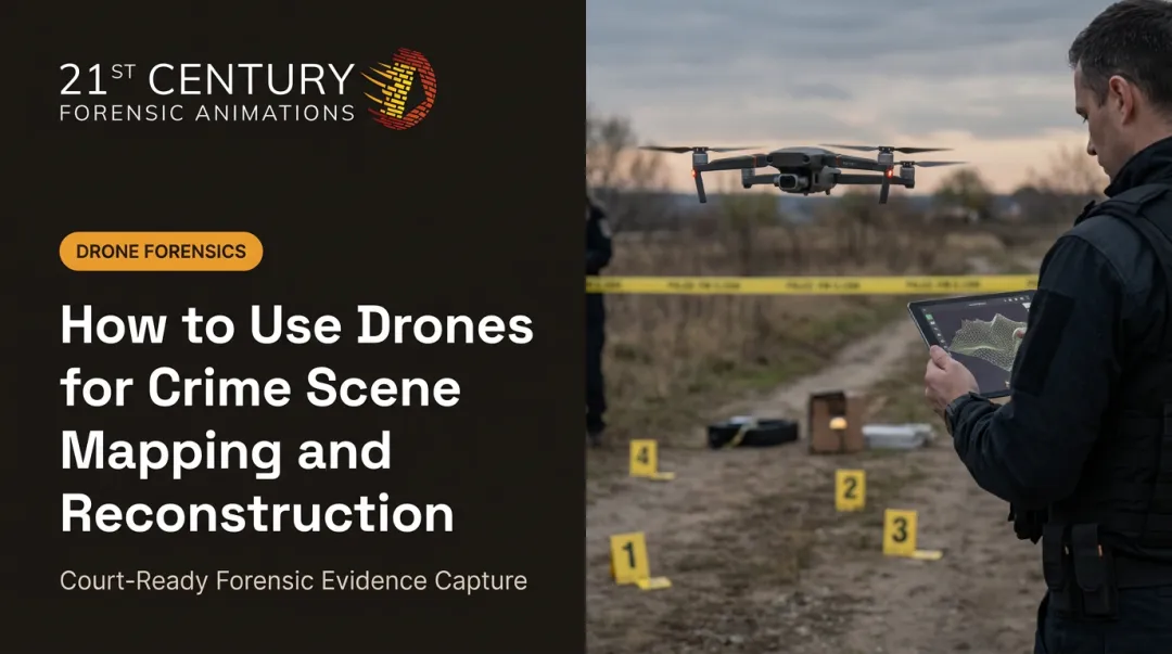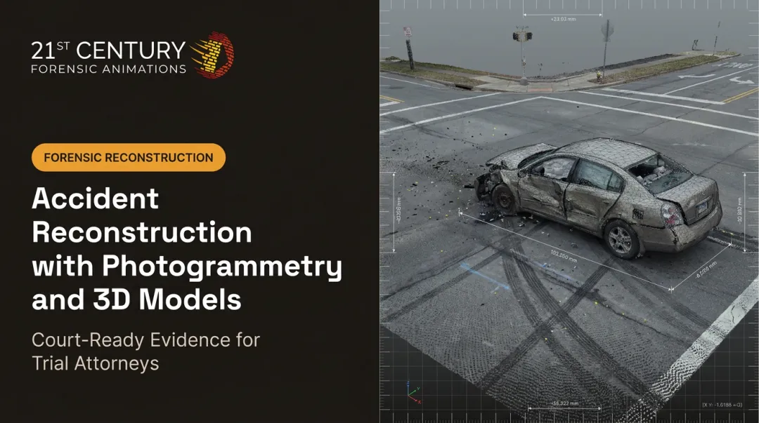

This shift solves real problems: sites too dangerous to walk, evidence that changes or gets cleared before anyone can measure it, and a growing demand across construction, insurance, and litigation for repeatable numbers that hold up under scrutiny. This guide covers how aerial 3D mapping works, the main capture and processing methods, where it's used, and what matters most when the resulting data needs to survive a courtroom challenge.
Key Takeaways
- Aerial 3D mapping delivers measurable models, not just images, using photogrammetry, LiDAR, or both
- Accuracy ranges from several meters with standard GPS to sub-inch precision using RTK/PPK and ground control
- Drones, manned aircraft, and satellites each fit different coverage and detail needs
- Litigation-ready reconstructions require documented methodology and a testifying expert
- Raw drone or scan output rarely walks into court ready to use
What Is Aerial 3D Mapping?
Aerial 3D mapping is the process of capturing imagery or laser data from above (drone, aircraft, or satellite) and processing it into measurable outputs: 3D models, point clouds, and orthomosaics rather than flat pictures.
That distinction matters more than it sounds. A photograph shows what a scene looked like. An aerial 3D map lets you pull exact distances, elevations, areas, and volumes directly out of the dataset, long after the physical scene is gone.
For an attorney building a case around vehicle positions or property boundaries, that's the entire point.
Primary outputs include:
- 3D models and point clouds – dense collections of measured points that recreate a scene's geometry
- Orthomosaic maps – geometrically corrected, top-down image mosaics you can measure directly
- Topographic surveys – elevation data used for grading, drainage, and terrain analysis
- Textured meshes – photo-realistic 3D surfaces often used for visual exhibits and presentations
Each output serves a different downstream purpose. An engineer might need a topographic surface for grading calculations, while a trial team needs a textured mesh a jury can actually understand.
How Aerial 3D Mapping Works
Getting from a raw flight to a usable 3D dataset involves three distinct stages, and skipping or rushing any one of them shows up later as bad data.
Image and Data Capture
High-resolution cameras or LiDAR sensors mounted on drones or aircraft capture overlapping images or continuous laser pulses across the target area. For photogrammetry, industry guidance calls for 60-80% image overlap, with denser overlap (85% or more) recommended over forests and dense vegetation where fewer visual features are available to match between frames.
Capture angle matters too:
- Nadir (straight-down) imagery works well for orthomosaics and terrain mapping
- Oblique (angled) imagery captures building facades, vehicle damage, and vertical terrain features that top-down shots simply miss
A scene involving a multi-story building or a wrecked vehicle almost always needs both angles to be fully documented.
Positioning and Georeferencing
Every image or laser point gets tagged with GPS/GNSS coordinates as it's captured. Standard GPS alone typically places that data within a few meters of its true location, which is fine for a rough overview but nowhere near good enough for engineering or legal work.
RTK (Real-Time Kinematic) and PPK (Post-Processed Kinematic) correction close that gap:
- RTK corrects position live during flight, requiring a real-time correction signal
- PPK corrects the data afterward, without needing a live connection during capture
- Ground control points (GCPs), physical markers surveyed independently, tie the model to known coordinates and push accuracy down to the centimeter level
3D Reconstruction and Processing
Raw captures become a usable model through a sequence of processing steps. Feature matching identifies common points across overlapping images, triangulation calculates their 3D position, and the software builds a point cloud that gets converted into a surface model.
Three approaches dominate this stage:
| Method | Best For | Tradeoff |
|---|---|---|
| Photogrammetry (still images) | Cost-effective, detailed texture and color | Struggles with dense vegetation and low-light |
| Videogrammetry (continuous video) | Fast capture of large or moving scenes | Lower per-frame resolution |
| LiDAR (laser ranging) | Penetrating vegetation, low-light conditions | Higher hardware cost |
A quality assurance step, checking reconstructed measurements against independent checkpoints, separates a dataset that merely looks impressive from one that's actually accurate. That distinction becomes critical the moment the output needs to support a legal argument rather than just a progress photo.

Aerial 3D Mapping Methods and Platforms
Not every job calls for the same platform. Drones, manned aircraft, and satellites each cover different ground at different levels of detail.
| Platform | Typical Detail Level | Coverage Per Mission | Turnaround |
|---|---|---|---|
| Drone (photogrammetry/LiDAR) | Very high (sub-inch to about an inch) | Roughly 0.4-1.2 square miles per flight | Hours to a few days |
| Manned aircraft (hybrid sensor) | High, over much larger areas | Tens to hundreds of square miles | Days |
| Satellite | Moderate (several inches to about a foot) | Hundreds to thousands of square miles | Days, weather-dependent |
Drones win when a scene needs fine detail over a limited footprint, such as a single accident site, a building, or a property line. Manned aircraft and satellites make more sense for regional infrastructure monitoring or disaster zones spanning many square miles.
One regulatory wrinkle attorneys should know: commercial drone operations in the U.S. require FAA Part 107 certification and, in controlled airspace, prior authorization. That process can affect how fast a mapping team can actually get airborne over a time-sensitive scene, an accident on a highway near an airport, for example.
Given these regulatory realities, complex projects often combine methods rather than lean on one platform. A large disaster zone or a multi-vehicle pileup might pair drone-level detail with wider aerial context from a manned flight, giving investigators both the close-up measurements and the broader spatial picture.
Applications of Aerial 3D Mapping
Construction, Surveying, and Property Assessment
Construction teams use aerial mapping for progress tracking, topographic and corridor surveys, and cut-and-fill volume calculations that used to require a crew walking a site with survey equipment. One documented drone survey of a 260-acre golf course collected data in a single day and completed mapping in 15 days, reporting roughly 75% cost savings and 50% time savings compared to traditional terrestrial surveying, according to a DJI Enterprise case study on drone photogrammetry.
Insurance adjusters use the same underlying technology to document roof damage and property conditions without a ladder.
Public Safety and Legal/Forensic Investigations
This is where aerial mapping carries the highest stakes. Investigators use drone imagery and aviation incidents: scenes where physical evidence gets cleared, contaminated, or altered within hours.
Raw capture data isn't the finished product. Turning a drone flight or laser scan into a trial-ready exhibit requires converting it into a precise, verifiable model that a judge will actually allow a jury to see.
21st Century Forensic Animations specializes in exactly that step, converting laser scans, drone imagery, and photogrammetry into dimensionally accurate 3D reconstructions built to meet the rules of evidence in civil and criminal cases.

This kind of data also comes into play in:
- Aviation incident investigations, where debris fields span acres
- Ballistics and kinematics analysis, reconstructing trajectory and positioning
- Eminent domain property disputes, where boundary and elevation precision decide compensation
- International war crimes documentation, where scene access may be limited to a single window of time
Emergency Management and Government
Government agencies rely on aerial 3D mapping for disaster damage assessment after storms or fires, tax and zoning verification, and ongoing infrastructure monitoring—bridges, levees, and roadways—that are far cheaper to inspect from the air than with repeated site visits.
Accuracy, Verification, and Court Admissibility
Not all aerial data is created equal, and the factors that separate a rough estimate from a defensible measurement are well documented.
Main drivers of accuracy:
- Ground sample distance (GSD) – smaller GSD means finer resolution and more precise measurements
- Ground control points – independently surveyed markers that anchor the model to real-world coordinates
- Terrain and vegetation – dense canopy or complex surfaces reduce achievable accuracy, particularly for photogrammetry
- Processing quality – the reconstruction software and QA process applied after capture
A federally funded evaluation of aerial systems for crime-scene reconstruction found approximate error margins of 1 centimeter for drone photogrammetry (structure-from-motion) and 3 centimeters for drone LiDAR. Terrestrial laser scanning measured roughly 1 millimeter, according to NIJ-sponsored research.
Most industries tolerate approximate accuracy. Courts don't. Legal proceedings demand dimensionally accurate, physics-grounded reconstructions capable of withstanding Daubert or Frye-type admissibility challenges, meaning the methodology must be testable, documented, and generally accepted in the field, not just visually convincing.
That's why complete methodology documentation matters as much as the data itself. An expert must be able to explain and defend, under cross-examination, exactly how the data was captured and processed.
That verification step exists because raw drone or photogrammetry output is rarely litigation-ready straight out of the software. It typically needs further expert interpretation before it can be used persuasively in front of a judge or jury.
21st Century Forensic Animations has built 37 years of verifiable methodology and courtroom testimony experience across civil, criminal, state, federal, and international jurisdictions, turning raw aerial data into exhibits that hold up under cross-examination.
Choosing the Right Aerial 3D Mapping Partner for Legal Cases
Before hiring anyone to capture or process aerial data for a case, attorneys should get clear answers to a few questions:
- What is the intended use of the data? A settlement demo has different accuracy requirements than a trial exhibit.
- What accuracy standard does this case actually require? Sub-inch precision matters for a boundary dispute; it may matter less for a general scene overview.
- Can the methodology be documented and defended under cross-examination? If the provider can't walk through their process step by step, that's a red flag.

A provider who understands both the capture technology and the applicable rules of evidence reduces the risk that an exhibit gets challenged, or excluded, before it ever reaches a jury.
Availability matters just as much as expertise when evidence is time-sensitive. Firms offering 24/7 response and a free initial consultation, like 21st Century Forensic Animations, help attorneys move fast without missing filing or trial deadlines.
You can reach their team anytime at (800) 460-2887 or request a free case consultation online.
Frequently Asked Questions
How accurate is aerial 3D mapping?
Accuracy depends on resolution, ground control, and processing quality. Professional-grade captures with ground control points can reach sub-inch to a few inches of accuracy, while uncorrected GPS-only data may be off by several feet.
What's the difference between aerial 3D mapping and aerial photography?
Photography shows what a scene looks like. Aerial 3D mapping processes imagery or laser data through photogrammetric or LiDAR methods to produce a measurable model you can extract exact distances and volumes from.
What's the difference between photogrammetry and LiDAR for 3D mapping?
Photogrammetry builds models from overlapping photos and is generally more cost-effective. LiDAR uses laser pulses and performs better in dense vegetation or low-light conditions where cameras struggle.
Can aerial 3D mapping data be used as evidence in court?
Yes, provided the methodology is fully documented, the measurements are independently verifiable, and a qualified expert can testify to exactly how the model was captured and produced.
How long does it take to create an aerial 3D map or reconstruction?
Raw capture can take just hours. A court-ready forensic reconstruction, with verification and full documentation, typically takes one to several weeks, depending on case complexity and the volume of imagery processed.
Do you need a drone pilot license to capture aerial mapping data?
Yes. Commercial drone operations in the U.S. require an FAA Part 107 Remote Pilot Certificate, regardless of which software or platform is used to process the data afterward.